
Geo-located social media provide a unique blend of information about society and place, extending volunteer geographic information models to form crowd-sourced people-centric data platforms. We propose a discussion around the use of geolocated social media in different disciplines.
The SMART Infrastructure Facility, University of Wollongong has developed a suite of tools, based on open software, for Twitter data analysis which we can present to kickstart conversations. It would be great to have some other presenters too.
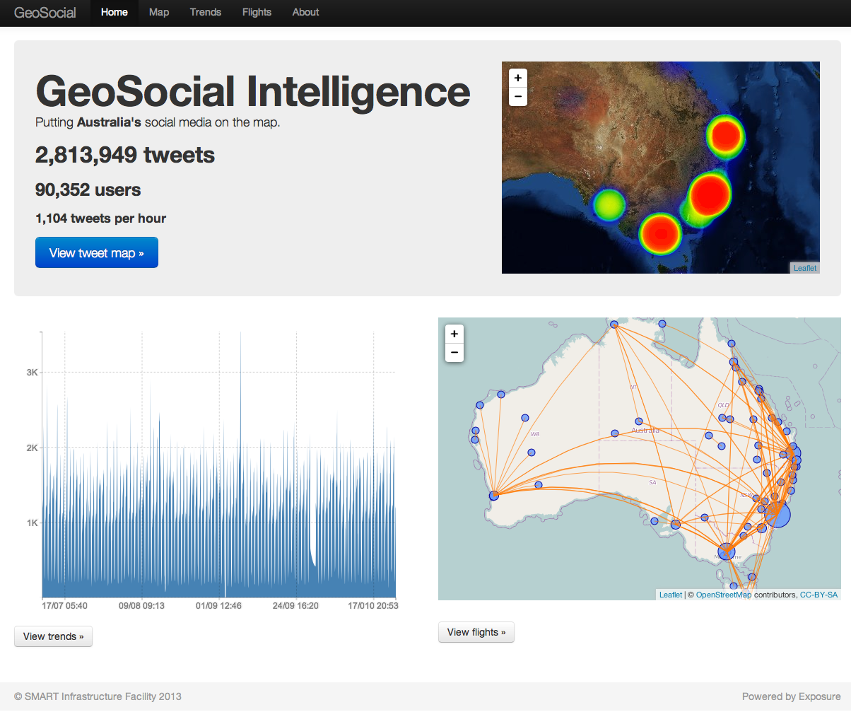
Geolocated tweets from around Australia
Interesting things we could discuss:
- How can we use geo-located social media to better understand the relationships between people and the urban environment?
- What is the role of social media during emergencies?
- Discussion on the technologies available to capture, analyse and visualise GeoSocial data.
Interested to hear your thoughts – all suggestions welcome!

Pingback: THATCamp Sydney 2013 – Less than 2 days to go! | THATCamp Sydney 2013
Hey tholderness,
We’d love to join in on your panel/discussion (?) to explore some SNA work we are undertaking around informal policy actors in the mobile health (mHealth) sector, via Twitter data we have collected. You could have a look at our work so far on our Moving Media blog. If you need anymore details contact me at . BTW, we can only make the Thursday session now, so if that doesn’t work, we completely understand.
Best
Jonathon.